Town Tour
Architectural
Drawings
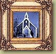
![]() St. John the Divine
St. John the Divine
![]() On Lee House
On Lee House
![]() Shilson House
Shilson House
This plan was done before 1863, when St. John the Divine church was built.
The document below is entitled "Fort Yale (part of)" and includes street names, some numbered town blocks, part of the Fraser river and a scale. Click to view a map of about 1500 x 1500 pixels.
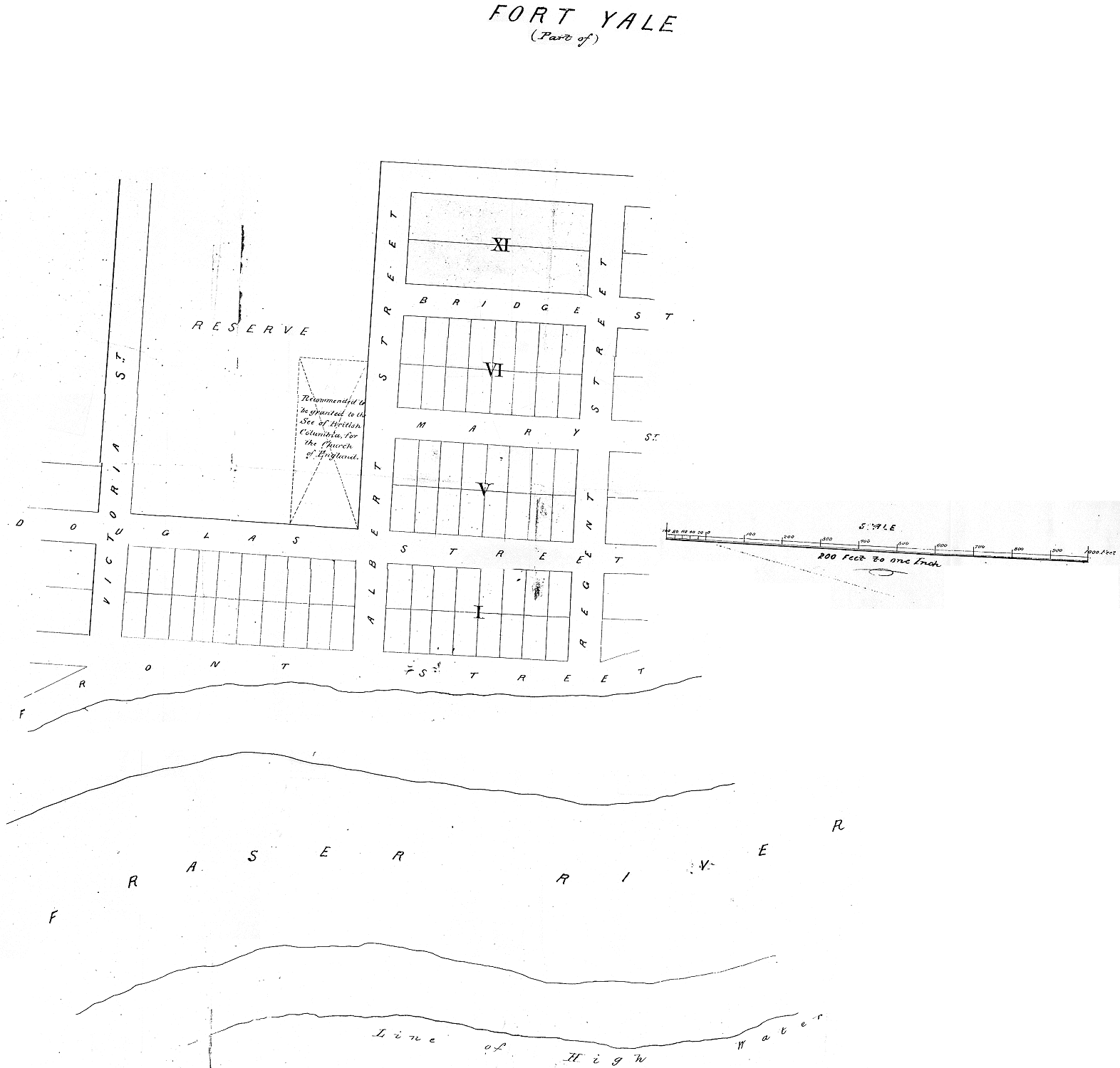
BC Archives: CM A177
Home | Contents | Tour | People | Collection | Transportation | Just For Kids! | Team
|
Last updated 31 August 1998. This digital collection was produced under contract to the SchoolNet Digital Collections Program, Industry Canada. Produced by Schoolnet Digital Collections Team. |

|